In the age of rapid urbanization, the concept of smart cities has emerged as a beacon of progress, promising efficient resource management, enhanced sustainability, and improved quality of life for residents. At the heart of this transformation lies innovative technologies that enable cities to gather, analyse, and act upon vast amounts of data. One such technology making significant strides in the realm of urban planning is Lidar (Light Detection and Ranging). As one of the premier corporations working on Lidar technology, HC Robotics has taken giant strides in custom development of this technology in line with the requirements of smart city planners.
Lidar technology, once predominantly associated with topographic mapping and geology applications, has found a new and vital role in shaping the future of urban environments. By leveraging laser pulses to measure distances to objects, Lidar generates highly accurate three-dimensional representations of landscapes, infrastructure, and urban features. This wealth of spatial data empowers city planners, engineers, and policymakers with insights crucial for informed decision-making and efficient resource allocation.
One of the primary applications of Lidar in smart cities is urban mapping and modelling. Traditional surveying methods often prove time-consuming, labour-intensive, and prone to errors. HC Robotics Lidar studies, on the other hand, offers a rapid and precise means of capturing detailed 3D representations of entire cityscapes, including buildings, streets, vegetation, and utilities. These digital twins serve as the foundation for various urban planning initiatives, from infrastructure development and transportation optimization to disaster preparedness and environmental conservation.
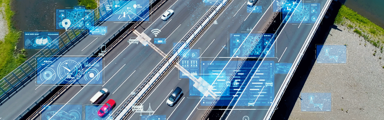
In transportation planning, Lidar plays a pivotal role in the design and management of road networks. By accurately measuring the elevation and curvature of terrain, as well as detecting obstacles such as buildings and trees, Lidar data enables the creation of high-definition maps essential for autonomous vehicle navigation, traffic flow optimization, and infrastructure maintenance. Moreover, Lidar-equipped vehicles can efficiently conduct pavement condition assessments, identify potholes, and prioritize road repair efforts, thereby enhancing safety and mobility for motorists and pedestrians alike.
Furthermore, Lidar technology facilitates effective urban design and development by providing insights into land use patterns, building heights, and population density. Planners can utilize this information to optimize zoning regulations, allocate resources for affordable housing, and create more livable, inclusive communities. Additionally, Lidar-based environmental monitoring enables cities to assess air quality, detect pollution hotspots, and mitigate the impacts of climate change through strategic urban greenery initiatives and sustainable infrastructure projects.
Another key advantage of Lidar technology is its ability to enhance disaster resilience and emergency response capabilities in smart cities. By creating detailed digital elevation models and flood risk maps, authorities can identify vulnerable areas prone to natural disasters such as floods, landslides, and wildfires. This proactive approach allows for the implementation of pre-emptive measures such as early warning systems, evacuation routes planning, and infrastructure reinforcement, thereby minimizing loss of life and property damage during crisis situations.
However, while Lidar technology holds immense potential for revolutionizing urban planning in smart cities, several challenges remain to be addressed. These include the high cost of Lidar sensors, data processing complexities, and the need for standardized protocols for data sharing and integration across different municipal departments and agencies. Furthermore, ethical considerations regarding privacy, data security, and equitable access to technology must be carefully navigated to ensure that the benefits of Lidar are equitably distributed among all segments of society.
Conclusion
Lidar technology represents a powerful tool in the arsenal of premier Robotics and AI companies Like HC Robotics, striving to address the complex challenges of urbanization sustainably. By providing comprehensive spatial data and actionable insights, Lidar enables cities to optimize infrastructure, enhance mobility, foster economic growth, and improve the overall quality of life for residents. As technology continues to evolve and become more accessible, a bevy of scientists at HC Robotics are working integration of Lidar into urban planning processes will undoubtedly play a pivotal role in shaping the cities of tomorrow into vibrant, resilient, and inclusive urban hubs.