ENVIRONMENTAL MONITORING
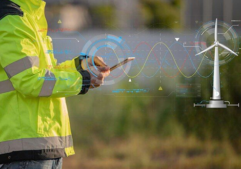
In recent years, the integration of cutting-edge technologies has significantly transformed environmental monitoring practices. Among these innovations, Lidar (Light Detection and Ranging) technology has emerged as a game-changer, offering unprecedented capabilities in mapping and analyzing our natural surroundings. Lidar Viewer Technology, a specialized application of Lidar, has gained traction for its remarkable potential in environmental monitoring. This article explores the profound impact of Lidar Viewer Technology in revolutionizing how we observe, analyze, and manage our ecosystems.
Lidar Viewer Technology harnesses the power of Lidar systems to capture highly detailed three-dimensional (3D) representations of landscapes, forests, water bodies, and urban environments. Unlike traditional monitoring methods, which often rely on ground surveys or satellite imagery, Lidar Viewer Technology provides an unparalleled level of precision and accuracy in environmental data collection. By emitting laser pulses and measuring their return time, Lidar systems create precise digital models of terrain and objects, enabling scientists and policymakers to gain valuable insights into various environmental phenomena.
Moreover, Lidar Viewer Technology plays a crucial role in coastal zone management and floodplain mapping. Its ability to precisely measure terrain elevation and identify land cover features allows researchers to monitor changes in shoreline dynamics, detect erosion hotspots, and assess flood vulnerability. This information is invaluable for designing effective coastal protection strategies and mitigating the impacts of sea-level rise on coastal communities.
Furthermore, Lidar Viewer Technology is revolutionizing biodiversity monitoring and conservation efforts. By capturing detailed data on habitat structure and vegetation composition, it helps scientists identify critical wildlife habitats, track species distributions, and monitor ecosystem health. This information is instrumental in guiding conservation initiatives and preserving biodiversity in the face of ongoing environmental challenges.
Challenges and Future Directions: Despite its transformative potential, Lidar Viewer Technology faces several challenges, including cost constraints, data processing complexities, and regulatory hurdles. The high acquisition and processing costs associated with Lidar data can limit its accessibility, particularly in resource-constrained regions. Additionally, the vast amounts of raw Lidar data require sophisticated processing algorithms and computational resources, posing challenges for data analysis and interpretation.
Looking ahead, addressing these challenges will be crucial for maximizing the impact of Lidar Viewer Technology in environmental monitoring. Continued advancements in sensor technology, data processing techniques, and data sharing platforms are essential for enhancing the accessibility, affordability, and scalability of Lidar-based monitoring solutions. Furthermore, fostering interdisciplinary collaborations among scientists, policymakers, and technology developers is essential for leveraging Lidar Viewer Technology to address pressing environmental issues, such as climate change, habitat loss, and natural disasters.
Lidar Viewer Technology represents a paradigm shift in environmental monitoring, offering unparalleled capabilities in mapping, analyzing, and managing our natural resources. From forestry management to coastal zone planning and biodiversity conservation, Lidar Viewer Technology is reshaping how we understand and interact with our environment. By overcoming technical challenges and fostering collaboration, we can harness the full potential of Lidar Viewer Technology to address pressing environmental challenges and build a sustainable future for generations to come.
Let's Know Your Business Better
HC Robotics, Inc.
5950 Bethelview Rd, Suite 500,
Cumming, GA 30040. USA
Phone Number
Email