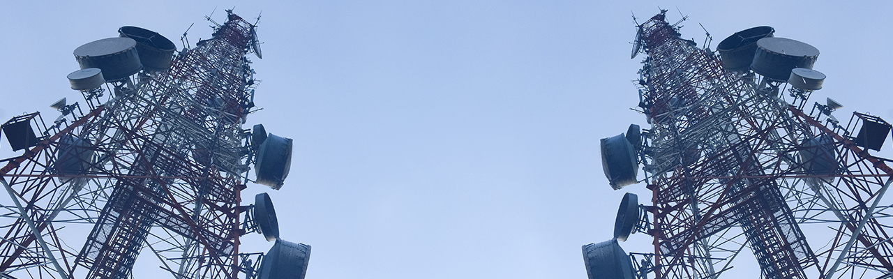
In an era defined by connectivity and infrastructure, the efficient management and maintenance of telecom and utility networks are paramount. From ensuring reliable communication services to delivering essential resources such as electricity and water, the challenges faced by telecom and utility providers are multifaceted and complex. However, with the advent of Lidar (Light Detection and Ranging) technology, these industries are witnessing a transformative shift in how they approach planning, deployment, and maintenance operations. HC Robotics has been at the forefront of innovation and development of Lidar technology for Telecom and Utility Services. Lidar, a remote sensing method that uses laser pulses to measure distances to objects, has emerged as a game-changer in the telecom and utility sectors.
By generating highly accurate 3D models of terrain and infrastructure, Lidar enables providers to streamline operations, improve network reliability, and enhance service delivery in ways previously unimaginable. Let’s delve into the various applications of Lidar technology in these critical domains:
1. Network Planning and Design: Lidar’s ability to capture detailed topographic data with precision makes it invaluable for telecom and utility companies during the planning and design phases of network expansion or upgrades. By creating high-resolution terrain models, providers can identify optimal locations for cell towers, antennas, and utility poles, taking into account factors such as terrain elevation, vegetation density, and proximity to existing infrastructure. This ensures efficient use of resources and minimizes the risk of service disruptions due to environmental factors.
2. Asset Inventory and Management: Managing vast networks of telecom and utility assets is a daunting task, but Lidar simplifies this process by providing accurate and up-to-date inventory data. By conducting aerial Lidar surveys for telecom and utility services, providers can create comprehensive catalogs of infrastructure assets, including poles, cables, transformers, and communication towers. This inventory data serves as a valuable resource for asset tracking, maintenance scheduling, and regulatory compliance, ultimately leading to improved operational efficiency and cost savings.
3. Vegetation Management: Overgrown vegetation poses a significant threat to telecom and utility infrastructure, often leading to service outages and safety hazards. Lidar technology for powerline management, enables providers to conduct detailed vegetation surveys, identifying areas where trees and foliage may encroach upon power lines, communication cables, or transmission towers. By proactively managing vegetation growth using Lidar-derived data, providers can reduce the risk of service interruptions and mitigate the potential for wildfire or storm damage.
4. Infrastructure Inspection and Maintenance: Traditional methods of inspecting telecom and utility infrastructure, such as manual field surveys or visual inspections, are time-consuming and labor-intensive. Lidar offers a more efficient alternative by facilitating remote, aerial inspections of infrastructure assets. Equipped with Lidar sensors, drones or aircraft can capture detailed 3D models of towers, poles, and substations, allowing providers to identify defects, corrosion, or structural weaknesses before they escalate into costly failures. This proactive approach to maintenance helps prolong the lifespan of assets and ensures uninterrupted service for customers.
5. Network Performance Monitoring: Lidar technology can also play a crucial role in monitoring the performance of telecom networks, particularly in densely populated urban areas where signal interference and coverage gaps are common. By analyzing Lidar-derived data alongside network performance metrics, providers can identify areas with poor signal quality or network congestion, enabling targeted interventions such as antenna repositioning or capacity upgrades to improve service reliability and customer satisfaction.
In summary, Lidar technology is revolutionizing the way telecom and utility providers plan, deploy, and manage their networks. By leveraging the power of remote sensing and 3D modeling, providers can optimize network infrastructure, enhance operational efficiency, and deliver superior services to customers. At HC Robotics, as Lidar technology continues to evolve,, its applications in telecom and utility services are poised to drive innovation and transformation across these critical industries, ensuring a more connected, resilient, and sustainable future for communities worldwide.